 |
 |
| ||
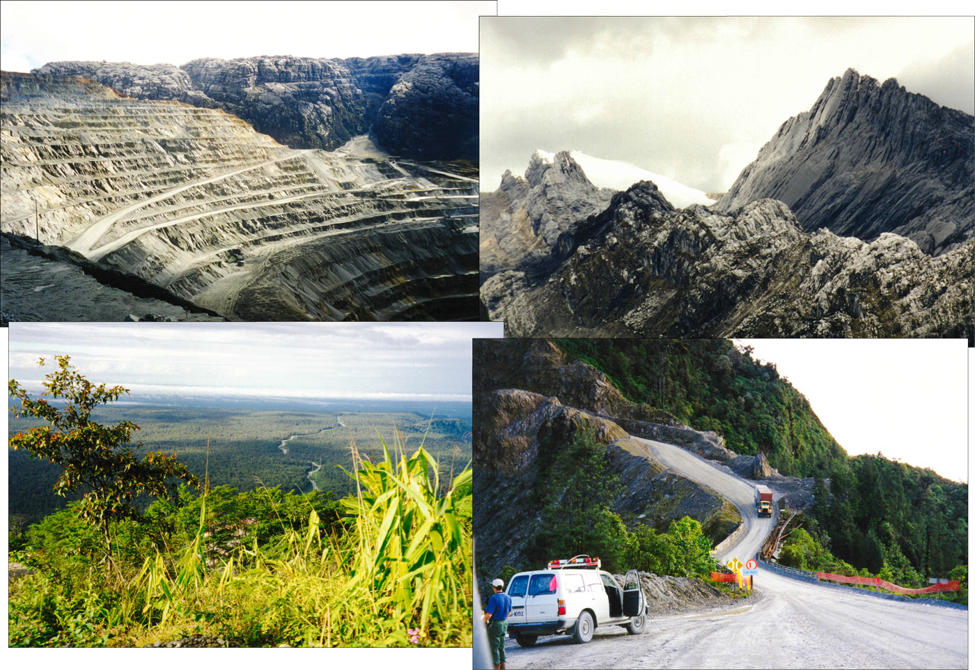
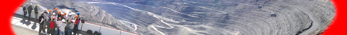
Upper images - Views from the edge of the Grasberg open pit. Left - section of the open pit as viewed in 1999. Note the flat lying Late Oligocene to Miocene Kais Formation (or New Guinea Limestone) intruded by the Grasberg Igneous Complex and the oxidised zone of heavier sulphides along the contact. Right - one of the glaciers at 4° 27' south of the equator, perched on the slopes of the 5030 m high Puncak Jaya, that towers over the pit. Lower images - On the road from Timika to Tembagapura and the Grasberg mine. Left - above the change in slope on the range front, looking back down the road to Timika, across the coastal plain to the Arafura Sea. Right - on the precipitous road up the range front. Photographs by Mike Porter
| |||||||||